A complete recording studio for your adventures
Hiking, motorcycling, driving, cycling, sailing, skiing — PathXplorer records it all and lets you relive it any way you want.
🛰️
Ultra-detailed tracking
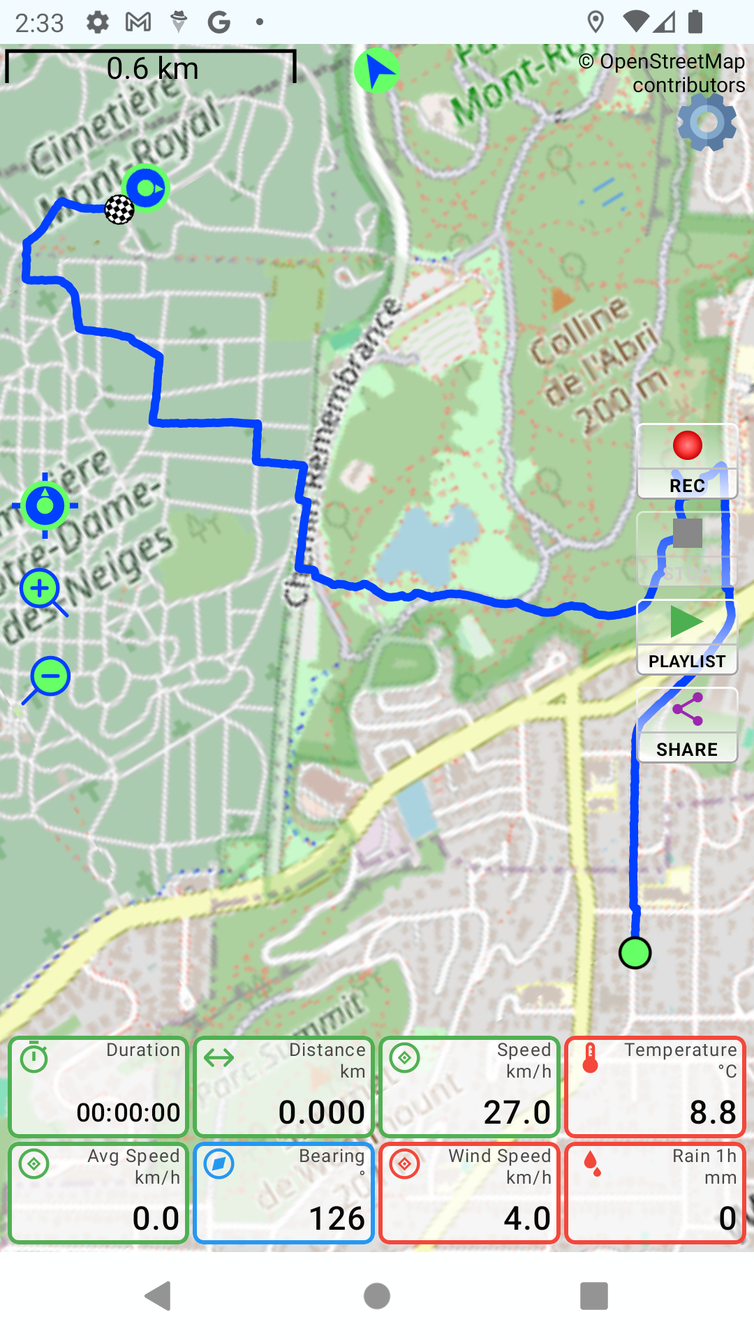
High-accuracy recording with adjustable intervals and rock-solid background operation — never lose your route, even with the screen off.
📊
Your dashboard, your way
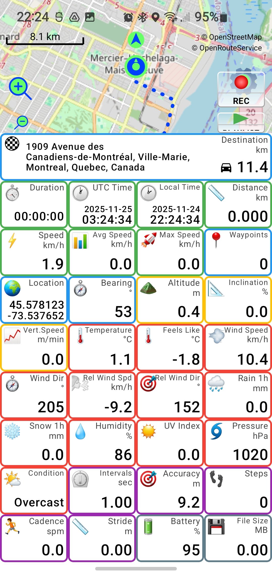
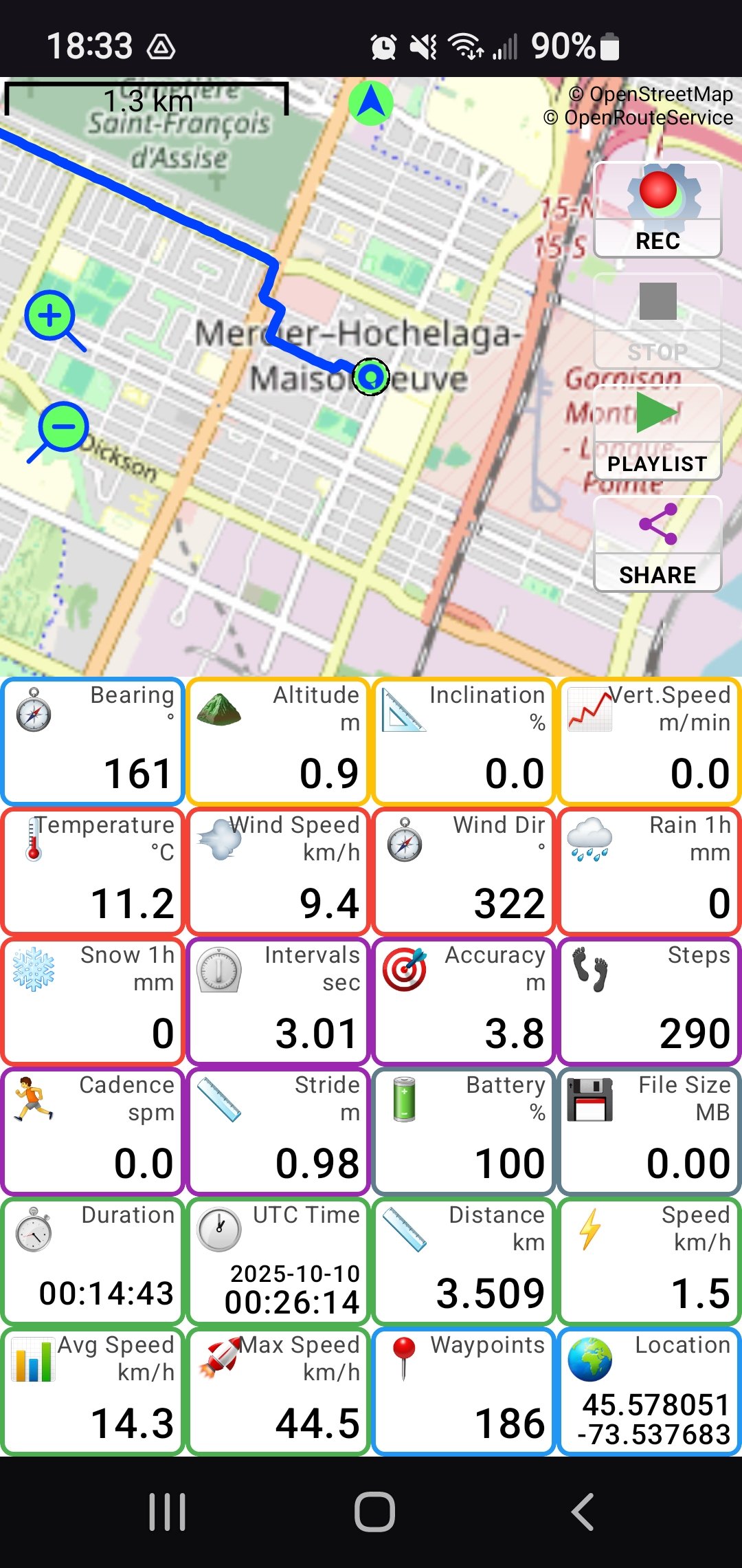
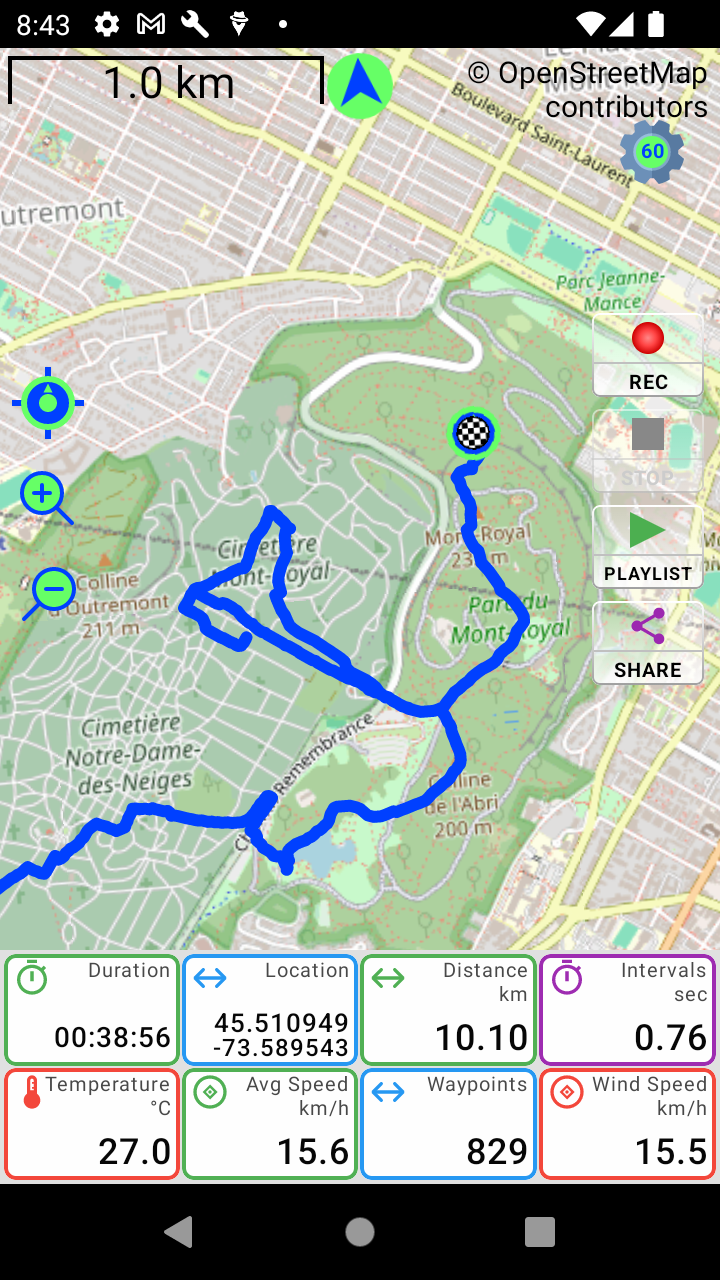
Build yours from a huge library of live tiles — drag to resize and reorder, double-tap any tile to copy its value. From 4 tiles to a full instrument panel.
🌦️
A full weather station
Live temperature and feels-like, wind with head/tailwind, conditions — plus humidity, rain, snow, UV and pressure recorded into every track.
🏍️
Lean angle gaugeFree
A real-time gauge with gyro auto-zeroing. See your live lean angle on the road — and again in your generated videos. Free for all riders.
🎯
G-Force meter
A live crosshair of acceleration, braking and cornering forces — recorded into your tracks and woven into your videos.
📸
Geotagged photos
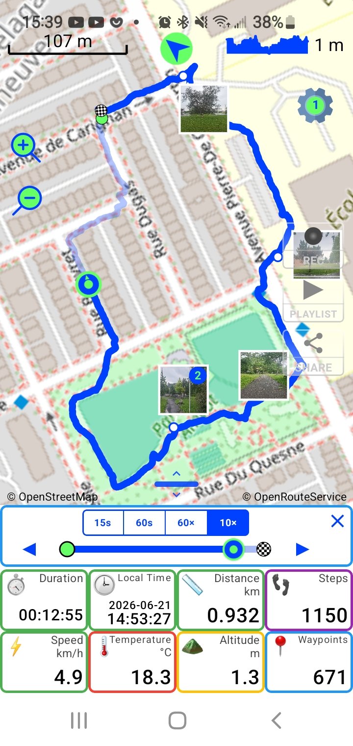
Snap photos while recording — each is pinned to the exact spot on your route, appears on the map and drops into your videos where it was taken.
🎬
Cinematic track videos
Turn any track into a shareable video: a 15-second clip, a 60-second story, or a full-ride time-lapse at 10× or 60× speed.
📄
PDF trip reports
Any track becomes a beautifully laid-out PDF: route map with departure and arrival addresses, elevation, speed, lean angle and G-force — with 3D data maps.
👥
Live group tracking
Create or join a group with just a name — no account, no signup. Watch friends move on the map in real time. Private, encrypted, off by default.
🅿️
Parking spot memoryNew
PathXplorer notes where you parked automatically. Recent spots appear as map badges tagged with their street address — long-press to copy and text it to anyone.
🗺️
Maps, addresses & routing
Offline tile caching for areas with no signal, your nearest street address as a live tile, and route planning for walking, cycling or driving.
✈️
Your data, your rulesNew
Full Data, Eco or No Data mode — recording always uses zero mobile data, Wi-Fi unlocks everything, and a built-in meter shows exactly what the app used.

 then PathX File, pick your email app and send it to pathxplorer@funapps.biz. It's already packed and sized to fit an email. We'll replay your ride here — and build the video for you.